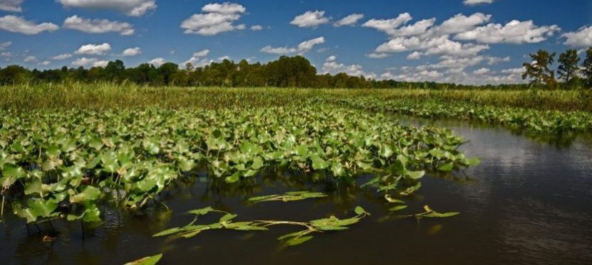
 Photo Courtesy of Gary Fleming, VA Natural Heritage Program
New Priority Conservation Map
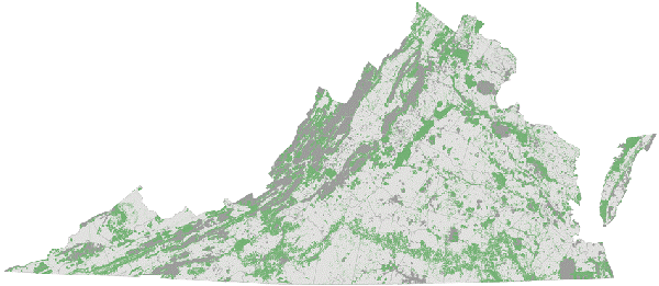
Photo Courtesy of Virginia Secretary of Natural Resources
On April 9, 2019 Governor Ralph Northam announced the launch of ConserveVirginia, a living, public ‘smart map’ that identifies high value lands and conservation sites throughout Virginia. The analysis is built upon the convergence of 19 data inputs representing various conservation values such as ecosystem diversity, flooding resilience, and cultural preservation. At its launch ConserveVirginia identified 6.3 million acres of high priority conservation areas and is designed to update regularly. A new water quality layer, along with updated forestry and cultural layers will be rolled out in the Spring of 2020.
“ConserveVirginia is about using the best information we have available to identify our true conservation needs and focus on protecting our limited resources,” said Governor Northam. The ConserveVirginia map will go on to guide Virginia’s long term land conservation strategy, informing state land acquisitions, environmental mitigation projects, and Virginia Land Conservation Foundation Grants. Continued data-driven science and coordination such as this is critical for an accurate representation and impactful conservation of the lands, sites, and cultures of the Chesapeake Bay.
In November 2019, Governor Northam announced Virginia Land Conservation Foundation (VLCF) grants totaling $5.89 million for 19 projects. The grants will help protect more than 17,000 acres in the state. Among the projects receiving grants, 89 percent are located within ConserveVirginia designated areas. The Virginia General Assembly has approved $10 million per year for the next two years for VLCF grants.